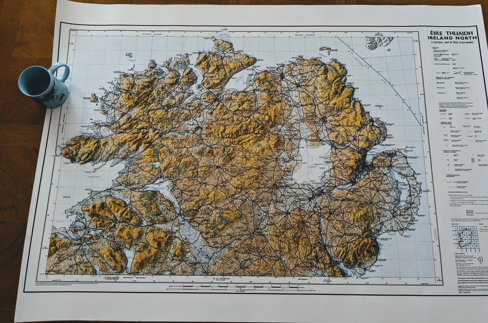
Topagráfaíocht Éireann Thuaidh (Ireland North Topography)


Based on the beautiful 1988 'Éireann Thuaidh' Irish Language cultural map but with a modern spin!
Originally published at scale of 1:250,000 the map covers the North of the Island of Ireland, displaying both Gaelic (Irish) and English forms of place names.
A digital copy of the original map has been updated to visualise topography with a Digital Elevation Model (DEM), using a Geographical Information System (GIS). Extra Topographic lighting has been applied for a relief shading effect.
The map is printed to the original scale of 1:250,000 as a 600dpi colour print of the original scanned 'Éireann Thuaidh' map. (A0 - 1189 x 841 mm). The Printed area is c1160 x 710cm.
Each print has a white border for framing or simply use as a poster!
Digital Colour ink print on 180gsm Satin Poster Paper (shipped rolled/tubed).
Contains LPS Intellectual Property © Crown copyright and database right (2021). Licensed under the terms of the Open Government License V3.
Shipping to UK (1st Class), Ireland/EU, Canada & USA (International Standard). Please Contact for other postal quotes not listed below.